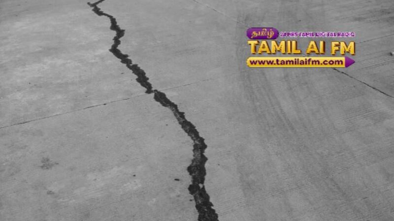
JOHOR BAHRU — The minor tremor that hit Segamat recently was caused by a movement of the Mersing fault which has been identified as active again even though there was no record of earthquakes in the area before.
Senior Lecturer at the Faculty of Civil Engineering, Universiti Teknologi Malaysia (UTM), Skudai, Ts. Dr Mohd Zamri Ramli said the earthquake occurred due to the collision of the earth’s crust which created pressure along the fault before slipping and releasing energy.
Mohd Zamri who is also a member of the Engineering Seismology and Earthquake Engineering Research (eSEER) research group, said the earthquake on August 24 was confirmed to be on the Mersing fault with a magnitude of 4.1 on the Richter scale (mainshock) and 2.8 and 3.2 (aftershocks) on the Richter scale, indicating the existence of an active fault extension that needs to be studied more deeply.
“The occurrence of three tremors in four days in Segamat is not impossible even though the Malaysian peninsula is considered a low seismic zone because it is located on the stable Sunda Plate and not on the Pacific Ring of Fire.
“However, pressure from regional tectonic movements such as Indonesia and the Philippines can affect old faults. The potential for old or ancient faults to become active may be related to earthquakes in neighbouring countries. This study is always being conducted by MetMalaysia and the Department of Mineral and Geoscience (JMG),” he told Bernama today.
Explaining why tremors were also felt in Kluang, Muar and Melaka, Mohd Zamri said seismic energy propagates or spreads through the hard crust in Johor so it can travel far without losing energy.
He said the waves can travel far depending on the magnitude of the earthquake, the depth of the epicentre, and the type of rock and soil in the propagation path.
Johor, he said, has a rather hard and old crust causing waves to travel further and although the epicentre is in Segamat, surrounding areas such as Kluang, Muar and Melaka can also feel tremors, usually with lower intensity than areas near the epicentre.
Among the old faults in the Peninsula that have been identified are the Bentong–Raub Suture Zone, Bukit Tinggi–Janda Baik–Genting, the Manjung–Sungai Perak Zone and the Kenyir area, Terengganu.
In addition, he said local earthquakes affect low and medium buildings more because of their resonance with the frequency of the tremor, while tall buildings are more affected by distant tremors such as from Sumatra which is located 350 km to 500 km from the Peninsula.
Commenting on whether buildings in this country were designed to withstand earthquakes, Mohd Zamri said before 2015, most buildings in Malaysia were designed according to British Standards (CP 114, CP 110, BS 8110) which did not take into account earthquake loads, however, after the 2015 Ranau earthquake, Malaysia switched to Eurocode 8 (MS EN 1998) with the National Annex Malaysia.
“The design now takes into account earthquake loads, and the Segamat 2025 experience proves the need to update seismic hazard maps so that reference values such as peak ground acceleration (PGA) are more accurate. Otherwise, structures at risk are designed with parameters that are too low.